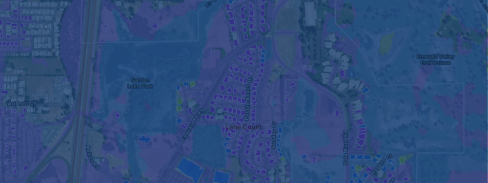
FEMA – Flood Risk Map Amendment – Appeal Period January 23 to April 16, 2026
FEMA, in cooperation with the state of Oregon, Lane County, the City of Creswell, and other local communities, is updating flood maps to better convey the risk of flooding in central Lane County. To help inform the community, FEMA has put together a virtual resource. Through this virtual resource, property owners and community residents can learn about the flood mapping process and what the changes mean for them. They can also get information about the National Flood Insurance Program and learn who to contact if they need more support.
Any owner or lessee of real property, within the Creswell City limits where a proposed flood elevation determination has been made who wishes to appeal and comment on the maps should submit their comments to our partner Floodplain Administrator, Leni Crow: lcrow@cottagegrove.org, or the City Planner, Curtis Thomas: cthomas@creswellor.gov.